HIS 218
Unit 11: GIS and History

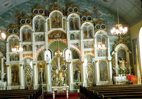
Example of an iconostasis in a Russian Orthodox church. The iconostasis hides the altar from the worshipers and is highly stylized with religious meaning.

Short introduction
Historians love maps, but they were very difficult to use in web 1.0 and web 2.0 creations; and so for a long time, maps were just static images on the web. GIS (Geospatial information systems) provides a new approach to maps (a combination of data/statistics with a map, a spatial representation). This is very exciting application, but also a little difficult to master.
What you
must do in this unit
SUBMIT
- Submit the Story Map assignment (150 points).
- Post the URL, title and short description of your story map assignment on the discussion board in Canvas.
Extra credit options
- Please suggest any materials relevant to this unit of the course.
Unit learning objectives
- Upon successful completion of this unit, you will be able to (1) use a digital tool to interpret the historical past and (2) explain how GIS methods can be used by historians in their research.
|