Most of the southern boundary of Central Asia is mountainous. The major mountain chain separating Kazakhstan and Kyrgyzstan from China (technically the Xinjiang region of western China) is the Tian Shan (aka T'ien Shan, Tyan Shan, Tengri Tagh, etc.). According to reference sources, the mountains derive their name from the Chinese for "Celestial Mountains," a phrase which is based on the original Uyghur name for the mountains. The Tian Shan stretch for about 2,500 km from west-southwest to the east-northeast, and they are related to the Himalayas. The highest peak is Jengish Chokusu (over twenty-four thousand feet) on the border between Kyrgyzstan and China. Peak number 2 is Khan Tengri (Lord of the Spirits), also at over twenty-four thousand feet.
![]()
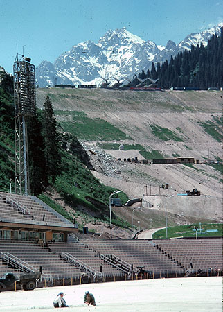
Almaty (formerly Alma Ata) Kazakhstan, with the Tian Shan Mountains in the background
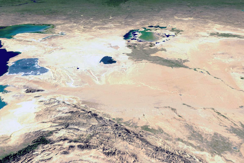
A panorama image of Central Asia featuring a view of the Tian Shan Mountains.
Used with the permission of Dr. William Bowen, California Geographical Survey